Image

Global Fishing Watch Map
Useful links
Global Fishing Watch Map
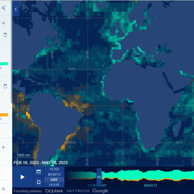
The Global Fishing Watch map was the first open-access online platform that provided visualisation of fishing activity at scale. It supports dynamic filtering and different ways of interacting with the billions of data points it displays (both AIS and VMS data for specific areas). It summarizes data in dot density maps and vessel track maps. Dot density maps use shapes to show the presence of vessels and can be used to examine vessel density and movement. Vessel track maps use lines to represent the tracks of vessels and can be used to analyze the activities of specific vessels.
Image
